Route of the fountains in Ripoll
Fresh and natural waters

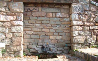
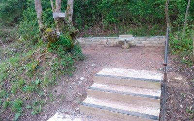
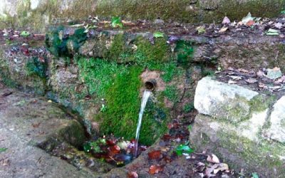
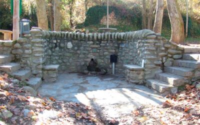
Water has played a very important role in the daily life of the people of Ripollès. Proof of this is that it is present on the town’s coat of arms, which is located between two rivers, or that it was the energizing element of the local economy for many centuries. At the same time, the existing fountains in the municipality were frequented by the Ripollians and even by the people who came to Ripoll to spend the summers. Currently, it is still possible to walk through most of the fountains.

CIRCUIT 1: From the Sant fountain to the Jordana fountain

Departure Point: Tourist Office
Route: 5,79 km
Elevation gain:+ 56 m
Approximate time: 1h 45′

Follow it on Wikilok

CIRCUIT 2: From the Amoroset fountain to the Naixent fountain

Departure Point: Tourist Office
Route: 3,84 km
Elevation gain: + 101 m
Approximate time: 1h

Follow it on Wikilok

CIRCUIT 3: From the Clot of Verns fountain to the Pintors fountain

Departure Point: Tourist Office
Route: 7,42 km
Elevation gain: + 106 m
Approximate time: 2h 10′

Follow it on Wikilok

CIRCUIT 4: From the Sant Ramon fountain to the Engordans fountain

Departure Point: Tourist Office
Route: 6,34 km
Elevation gain:+ 76 m
Approximate time: 1h 50′

Follow it on Wikilok